Blog
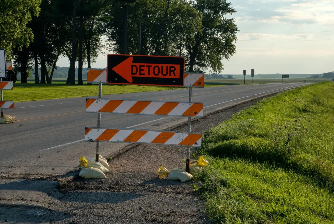 Field notes: the bypass that made last year's routing graph wrong overnight
A new bypass doesn't just add a segment. It rewrites who carries the through-traffic, and most graphs don't catch that for months.
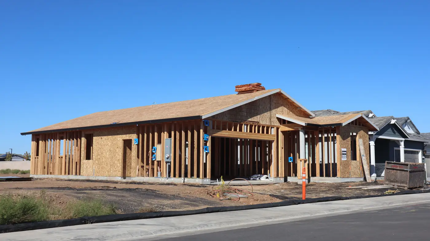 Private road vs public road: how a routing graph should flag the difference
How basemap teams should flag private roads, gated communities, and unmaintained segments in a routing graph, and where that data comes from.
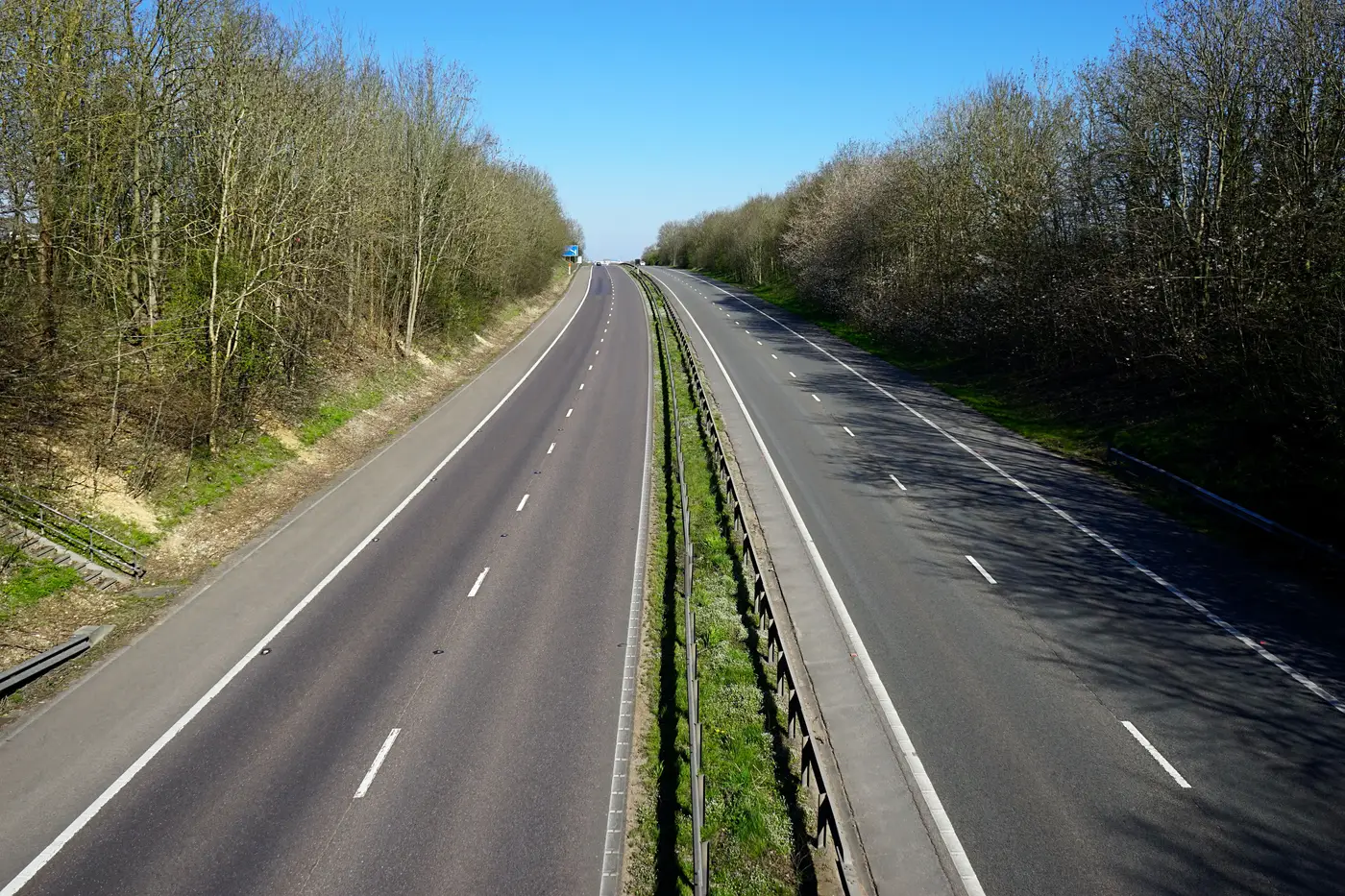 Reconciling OSM edits against a quarterly satellite road diff
A working method for merging OSM changesets with a satellite-derived road diff without duplicating segments or losing editor intent.
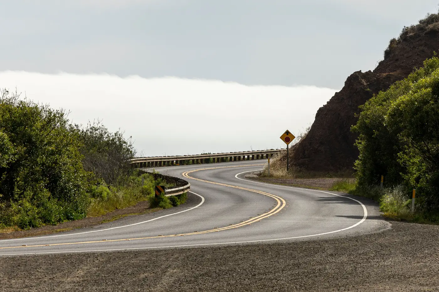 Roundabout vs traffic circle: telling them apart in satellite imagery
How to tell roundabouts from traffic circles in satellite imagery, and why classifying junction geometry right matters for your routing graph.
- The subdivision with moving trucks and no road on the map
A fast-built subdivision gets residents before it gets a road in the basemap. A look at why that gap keeps happening and what closes it.
- Frontage roads: why automated extraction keeps dropping them
What a frontage road is, and why extraction pipelines fold it into the highway edge or miss it as a service road.
- How to tell a closed road from a temporary detour in satellite imagery
How to tell a permanent road closure from a temporary detour in satellite imagery, so you don't delete a segment the routing graph still needs.
- What a turn restriction is, and why realignment breaks it
Turn restrictions live on graph nodes, not road names. When a realignment moves the node, the restriction goes stale. Here's why and how to catch it.
 Field notes: the ring road that took two counties three different names
A field note on a beltway that goes by three names across two counties, and what that kind of split does to a road network's attribution.
- What is a dangle node in road network topology?
What a dangle node is in road network topology, why it shows up most in new construction, and how it breaks routing graphs until QA catches it.
- How to tell a divided highway from an undivided one in satellite imagery
A practical guide to spotting medians and lane splits in high-res satellite imagery, for teams coding divided/undivided into a routing graph.
- What is a stub road, and why does your basemap need to track it?
A stub road is a dead end built to connect later. Here's why basemap teams treat them differently from a true cul-de-sac.
- QA a road network vector diff before it touches production
A working checklist for QA'ing a road network vector diff before merge: topology, attributes, and routing graph checks that catch breaks early.
 Shapefile vs GeoJSON for road network updates: what works in practice
A practical comparison of shapefile and GeoJSON for delivering road diffs into a basemap or routing graph, field names and all.
- How to merge a vector road diff into a routing graph without breaking topology
A practical walkthrough for merging new and changed road segments into a live routing graph without orphaning nodes or snapping edges wrong.
- New road or realigned road: telling them apart in satellite imagery
How to distinguish a brand-new road segment from a realigned one when reading satellite imagery for basemap updates.
- What Is Road Centerline Extraction?
What road centerline extraction is, how it differs from a road polygon, and how centerline digitizing actually gets done in production basemap work.