Field notes: the bypass that made last year's routing graph wrong overnight
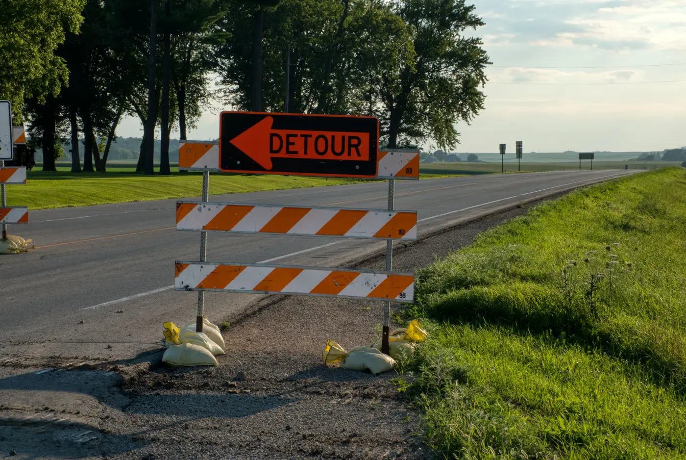
A county two states over opened a bypass around its downtown core in April. Four lanes, a new interchange, the kind of project that gets a ribbon-cutting and a line in the local paper. By June, the routing graph most delivery fleets in that county were using still sent every box truck straight through Main Street, past the elementary school, past the one intersection the town had spent eleven years and a bond measure trying to get trucks out of.
It wasn't that the bypass was missing from the data entirely. A few edits had landed in the crowd-sourced layer within weeks, enough for a handful of turn-by-turn apps to pick up the new ramp geometry. But the graph that mattered for freight routing, the one baked into dispatch software at three regional carriers, hadn't been touched since the prior autumn's field survey cycle. The bypass existed on the ground. It didn't exist in the data trucks were routed against.
That gap is the part worth sitting with. A missing segment doesn't stay contained to itself. It changes what's true about every intersection, turn lane, and speed profile around it.
Open a new bypass and you don't just add a road. You change the shortest path calculation for every trip that used to funnel through downtown, which means the old arterial's speed profile stops matching its actual traffic load, which means turn restrictions that made sense when Main Street carried regional through-traffic stop making sense once that traffic has somewhere else to go. The town had already repainted a left-turn lane that nobody needed anymore. The graph didn't know that either.
This is the part that doesn't show up in most conversations about keeping basemaps current. Everyone talks about the new segment itself, whether it's geometrically correct, whether the ramps connect at the right nodes. Fewer people talk about the half-life of everything the new segment invalidates around it. A bypass is a single construction project. Its effect on a routing graph is closer to a small earthquake: the epicenter is obvious, the aftershocks are scattered across a dozen intersections that nobody flagged for review because nothing happened at them. They just stopped being true.
Field survey cycles were built for a slower world: a region got walked or driven every year or two, and that was fine because roads didn't move that fast. Crowd edit queues fill the gap in theory, but in practice they're uneven. Dense urban cores get fixed fast because enough people drive through them and notice. A county bypass gets fixed slowly, because the volume of local edits in a rural corridor is thin, and thin means slow, and slow means a production team ships a graph that's confidently wrong for a construction project that's been carrying traffic for half a year.
Closing that gap means going back to the imagery often enough that a bypass doesn't sit unflagged for two cycles. High-res satellite catches a new interchange, a widened arterial, a realigned ramp the same way it catches everything else built or changed on the ground, and it doesn't need anyone local to have noticed or cared. That's the whole premise behind a quarterly vector diff of the road network: pull what changed from fresh imagery, hand over the new and altered segments as a layer, and let a production team merge it against what they've already got instead of waiting to hear about it secondhand.
The next bypass that opens somewhere in your coverage area is probably already under construction. It will likely sit invisible to your graph for months after the ribbon gets cut, unless the update cycle behind that graph is short enough to catch it near the open date. Road Extraction is built to shrink that window to a quarter.