Frontage roads: why automated extraction keeps dropping them
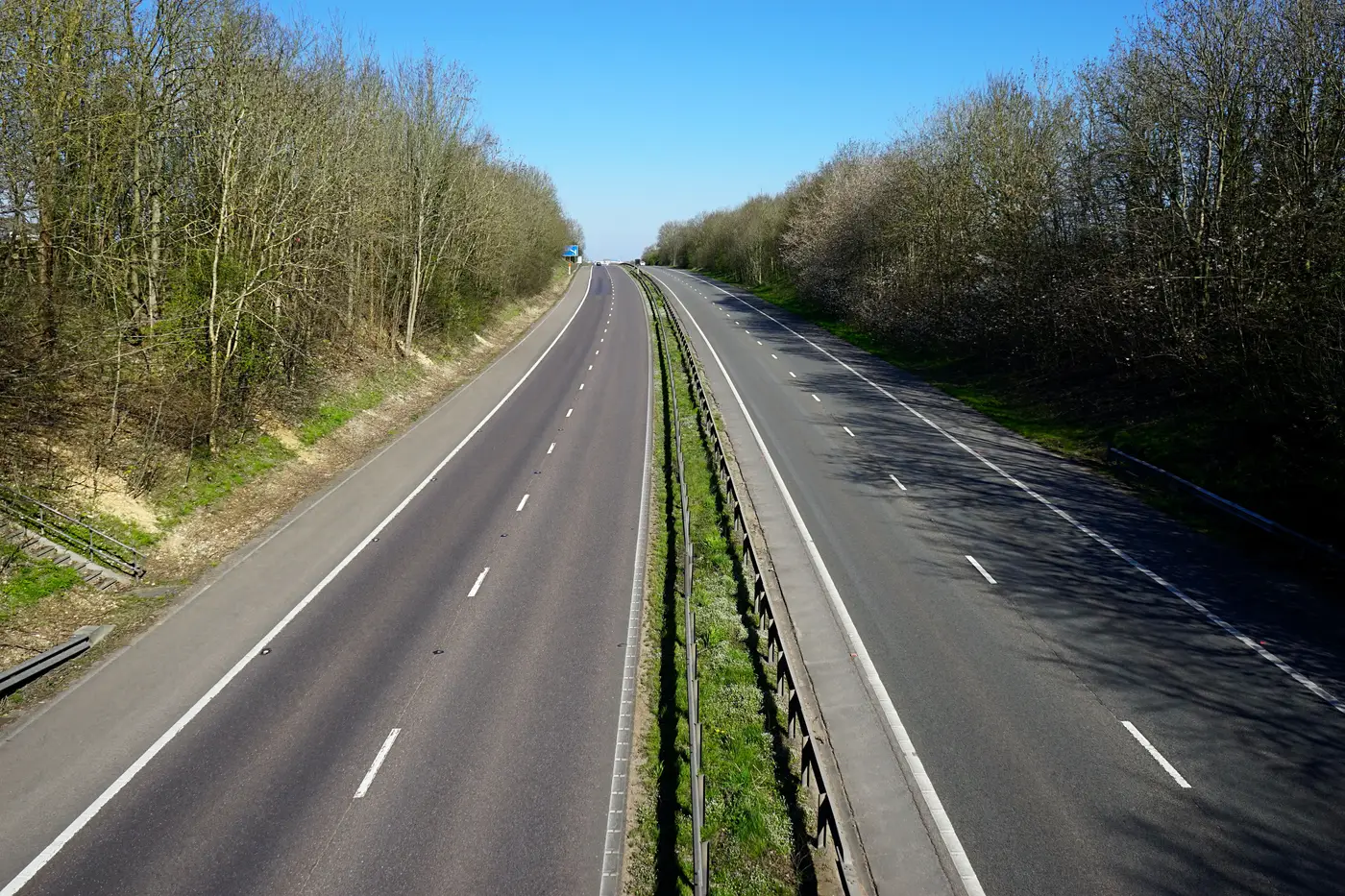
A frontage road runs alongside a limited-access highway, usually on one or both sides, carrying local traffic and giving driveway access to the businesses the highway bypasses. It's a distinct roadway, with its own speed limit, its own stop signs, and its own set of connection points where it feeds back onto the highway, usually a half-mile or more apart, separate from the ramp beside it and the highway shoulder it sometimes gets mistaken for.
That spacing is the whole problem. A frontage road sits 30 to 80 meters from the highway centerline for miles at a stretch, running dead parallel to it. To a human editor that's obviously two separate things. To a segmentation model trained on road width and surface texture, a frontage road and the highway it shadows look like the same object wearing two hats.
Why the pixels lie
At 0.5–2 m resolution, a two-lane frontage road and the outer shoulder of a six-lane highway can read as nearly identical: same asphalt signature, same cast shadow direction, same orientation. When a model buffers the highway centerline to extract the full right-of-way, the frontage road often falls inside that buffer and gets merged into one wide polygon, or discarded as noise because it looks like a shoulder.
Interchanges make it worse. Near an on-ramp or diamond interchange, the frontage road, the ramp, and a service road into a gas station or truck stop all converge in the same hundred meters. Pixel classification has no concept of "this one connects to the highway only at the ramp gore, and that one connects to a parking lot entrance every 200 feet." It sees overlapping lines of asphalt and has to guess at topology it was never asked to reason about. That's the same blind spot that trips up general service road detection in satellite imagery: the geometry reads as road, but which network it belongs to is a judgment call the imagery alone doesn't answer.
Grade separation adds a third failure mode. Where the frontage road dips under an overpass or the highway climbs onto an embankment, shadow and occlusion break the frontage road into fragments. A pipeline tuned to snap gaps under a certain threshold will often snap the frontage road fragment straight into the highway centerline instead of back into itself, because the highway is the nearer, brighter, more continuous line.
Parallel road or frontage road: why the routing graph cares
A routing graph that treats a frontage road as part of the highway, or drops it entirely, sends drivers instructions that don't match what's on the ground. "Merge onto the highway" where there's no merge for another mile, or a missing turn option the frontage road provides at the next light instead.
The distinction that matters for the graph is access. A parallel arterial a few blocks over is a genuinely separate route with its own intersections everywhere along its length. A frontage road is dependent infrastructure: it only talks to the highway at defined ramp points, and a vehicle on it can't jump onto the highway mid-segment no matter how close the two lines sit on the map. Collapsing that distinction either strands the frontage road as an orphan edge with no legal access to the limited-access road it parallels, or it lets routing treat the two as interchangeable when they're not. Either way, wrong turn-by-turn guidance shows up near every interchange in a metro.
For a production team, the practical fix is to stop trusting width and surface signature alone and check two things: does this parallel segment hold a consistent offset from the highway for its full length, and does it only touch the highway geometry at points that correspond to real ramps or interchange gores? If both hold, it's a frontage road, and it needs its own edge, its own access tags, and connectivity limited to those ramp points, not a general merge.
That's the kind of check a change-detection pass earns its keep on. Run a fresh look at interchange corridors each cycle and you catch the frontage road segments a highway widening project added or re-routed before they sit wrong in the graph for a year. Road Extraction's quarterly vector diff is built to surface exactly that kind of new-and-changed segment around interchanges, ready to merge into your existing network rather than redrawn from scratch.