The subdivision with moving trucks and no road on the map
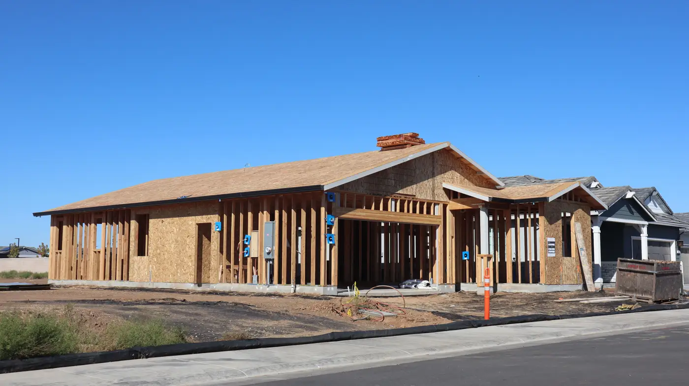
A production lead at a regional mapping shop told me about a subdivision outside a fast-growing metro where the moving trucks beat the basemap by about four months. Plat approved in spring, grading done by early summer, first closings by August. The street had a name on the builder's signage and a stub connection to the county road before anyone on a GIS team had traced it into the network.
This happens more often than shops like to admit out loud, because pointing out the gap feels like pointing out that the product doesn't work. It works. It's just built on a cadence that assumes roads get added the way they used to: a few hundred feet a year off a known plat, reviewed on a survey cycle that was designed when subdivisions took eighteen months to build out, not eighteen weeks.
Builders don't wait for that cycle anymore. A single contractor in a growth corridor can cut and pave a loop-and-cul-de-sac layout, run utilities, and start closing houses faster than most survey schedules refresh. By the time a crew would normally drive it, there are mailboxes up and a dozen households who've already discovered that their delivery driver's app routes them to a field two streets over.
The crowd-sourced fix has its own failure mode. Someone submits the new street, and the edit lands in a review queue behind a few thousand other submissions, half of which are vandalism or duplicate geometry that needs untangling first. A moderator gets to it eventually: three weeks in a region with a thin queue, three months in one that's backed up, depending on the quarter.
Either way, the household living at the end of a stub street that doesn't exist in the graph isn't going to file a second ticket. They're going to tell their new neighbor the delivery guy always calls for directions, and that becomes the local folklore instead of a fixed data point.
What's interesting is where the miss actually shows up downstream. It's rarely the big arterial realignments; those get flagged because they're visible, they're in planning documents, someone's already watching for them. It's the small stuff: a stub that got extended, a loop that got closed off, a cul-de-sac that turned into a through street when the next phase broke ground. Those are the segments that sit quietly wrong in a routing graph for a year because nobody's looking at that corner of the county until a dispatcher calls asking why an ambulance got routed to a dead end.
The production teams who stay ahead of this don't treat it as a survey problem anymore. They treat it as an imagery problem with a fixed interval. Pull a fresh high-res pass, compare it against the last one, and pull out exactly what changed, segment by segment, without re-tracing a county's entire road network from scratch every time a subdivision finishes a phase. That's the gap Road Extraction is built to close: a quarterly vector diff that catches the new pavement and the reshaped stubs between your normal survey cycles, so the gap between "trucks are moving in" and "it's on the map" shrinks from months to one quarter.
The subdivision outside that metro has its street in the network now. It took a field complaint and a manual digitize job to get there, which is the slow way. If your queue has three more of these sitting in it right now, it's worth seeing what a quarterly pass against fresh imagery would have caught first.