How to tell a closed road from a temporary detour in satellite imagery
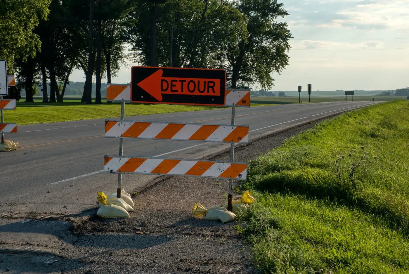
A closed road and a detoured road look almost identical in a single frame. Both show a barrier across the carriageway. Both route traffic somewhere else. The difference matters a lot to whoever owns the basemap, because one is a network edit and the other is noise that resolves itself in a few months. Pull the trigger on the wrong one and you either delete a segment drivers will need again by spring, or you leave a dead road live in the routing graph for a year because nobody wanted to commit to the call.
Here's what separates the two when you're sitting with a chip and no field notes to lean on.
What a temporary detour looks like from above
Construction detours carry tells that survive compression and cloud haze. The original pavement is still there under the barrier, usually in good condition, not cracked or grown over. You'll often see staging: stockpiled material, parked equipment, a contractor's lot near one end. The detour route itself tends to be rough: a gravel shoulder bypass, a temporary bridge deck, or traffic routed onto a frontage road that clearly wasn't built to carry through-traffic (look for new wear patterns on a road that otherwise shows none). Seasonal closures read similarly but without the construction gear, mountain passes and low-water crossings are the usual culprits, and the closure point often sits at a known chokepoint rather than mid-segment.
The giveaway across all of these: the underlying centerline is intact. Nothing has been demolished, regraded, or built over. The road is just not passable right now.
What a real closure looks like
A segment that's actually gone shows disruption to the pavement itself, not just a barrier on top of it. Vegetation growing through cracks. A trench cut across the roadbed for a utility reroute that was never repaved. A section graded flat and absorbed into an adjacent parcel. Sometimes it's blunter than that: the road simply isn't there anymore because a reservoir, a realigned highway, or a new development replaced it. None of this looks like "temporary" from any angle, because nobody plans to reopen it.
The other reliable signal is what's happening at the ends. A detour has two live tie-ins, traffic still flows on both approaches, just rerouted around the middle. A dead segment often has one end that no longer connects to anything useful: a stub, a driveway, a gravel apron where a through-road used to continue.
Why one image can't settle it
The honest answer, most of the time, is that a single pass doesn't give you enough to call it confidently. A barrier across a road on one date tells you traffic has stopped moving through that point, nothing more. It doesn't tell you whether that's a six-week bridge replacement or a segment that's never coming back. What tells you is the same location on a later pass. If the barrier's gone and traffic's back on the original alignment, it was a detour, update nothing. If the pavement's still broken and the bypass road has matured into the de facto route, that's a real network edit, and it's time to retire the old segment and add the new one.
That's the decision rule production teams end up using: closures confirm or resolve on repeat imagery, detours don't. The trouble is most basemap teams aren't sitting on a quarterly archive of every rural tie-in and secondary route in their coverage area, so this kind of before-and-after check becomes a special project instead of a routine one.
That's the gap Road Extraction is built around: a quarterly vector diff of the road network, pulled from high-res imagery, that surfaces new and changed segments as they show up pass over pass, so your QA queue is comparing the same ground at two points in time instead of guessing off one chip. If you're tired of holding closure calls in a spreadsheet until someone drives out to check, see how the quarterly diff works.